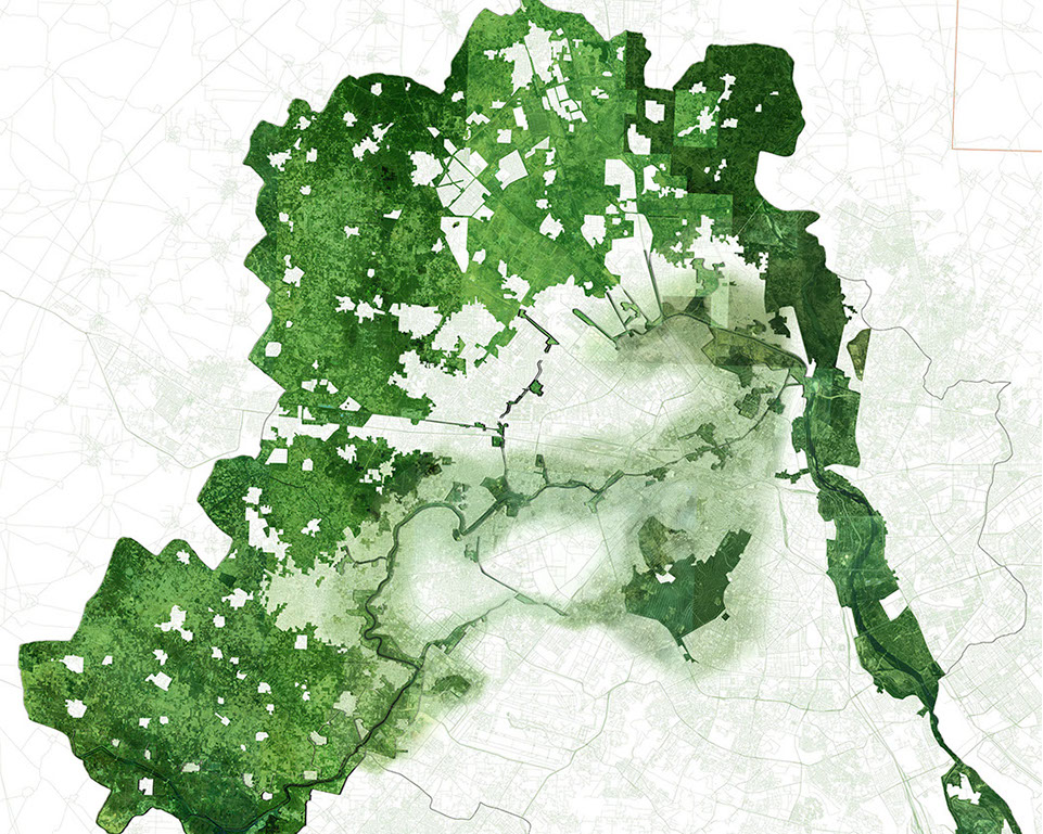
Map of Regional Extents, Delhi National Capital Territory
Project Index
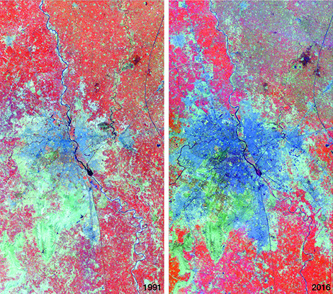
Delhi’s Exponential Expansion
Landsat images of the Delhi Territory: Evolution from 1991-2015.
Matthew Reidenbach, Associate Professor, University of Virginia
Justin Safarik, Environmental Sciences Major, University of Virginia
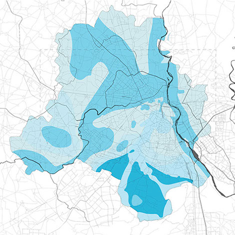
Mapping Drinking Water Infrastructure
Delhi NCT, Public Health, Water Infrastructures
Interceptor Drain. Re-Centering Delhi Team, Fall 2016.
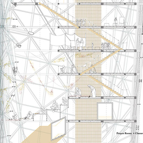
Micro-Migrations: Monsoon Emergency Typologies
Vertical Section of Shelter Tower. Donna Ryu, Fall 2016.
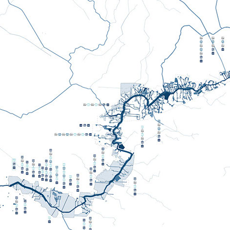
Delhi Green Infrastructure Spine
Delhi NCT, Najafgarh Drain, Urban Design
Najafgarh Drain Proposed Green Corridor. July Qui, Fall 2016.
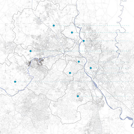
Mapping Density of Delhi’s Urban Fabric
Delhi NCT, Public Health, Urban Fabric
Population Density. Re-Centering Delhi Team, Fall 2016.
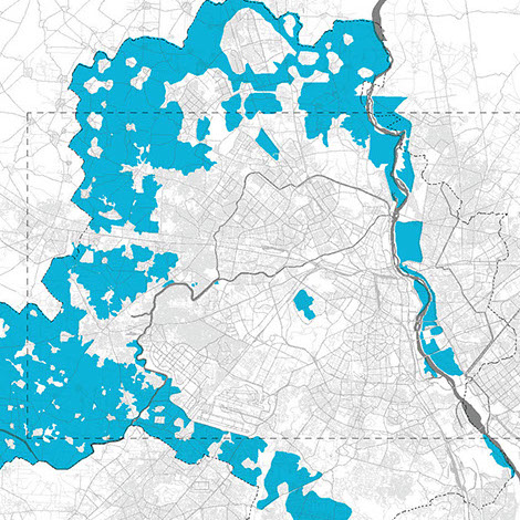
Agriculture in Delhi
Comparative Land Use, Re-Centering Delhi and Delhi 2021 Proposal.
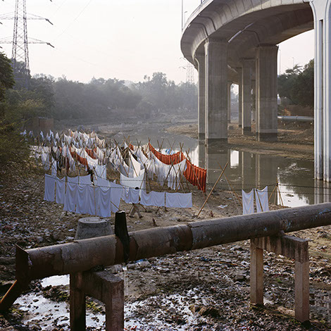
Urban Edges: Delhi’s Nallas
Randhir Singh, Photographer and Architect
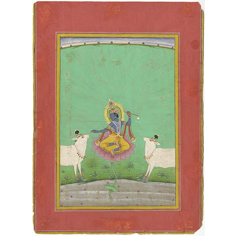
The Dark Goddess of the River
Daniel Ehnbom, Associate Professor of Art History, University of Virginia
Krishna as Venugopala, the flute playing cow- herder, at the bank of the Yamuna. By Hasam, son of Mamadin, dated 1766 CE. India, Rajasthan, Bikaner. Opaque color and gold on paper. Private collection.
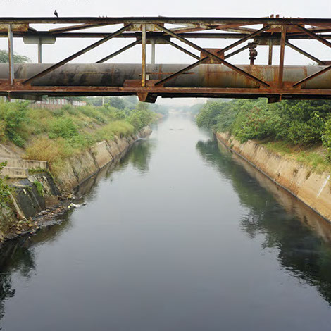
Mapping Sewage Infrastructure
Delhi NCT, Water Infrastructures
Mouth of the Najafgahr Drain. Re-Centering Delhi Team, Fall 2016.
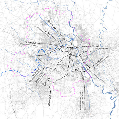
Mapping Delhi’s Basic Mobility Systems
Delhi Metro and Rail Transportation Systems. Re-Centering Delhi Team, Fall 2016.
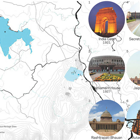
Mapping Delhi through Indian Empires
British Imperial Influences, 1803-1947. Map by Re-Centering Delhi team, Fall 2016.
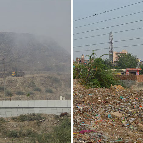
Mapping Delhi Landfills
Re-Centering Delhi Team, Fall 2016.
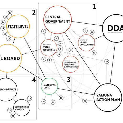
Delhi’s Governance and Efforts to Revitalize its Yamuna
Governance of the Yamuna, Benjamin DiNapoli, 2016.
John Echeverri-Gent, Associate Professor of Politics, University of Virginia


