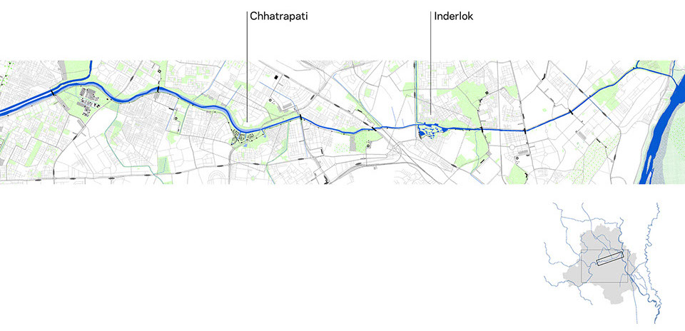
The Inderlok Station consists of a metro station intersecting the green and red lines, major roads, and a proposed tram line. The existing park is walled off from the metro station and residential neighborhoods; isolated from the urban context. Across the metro station, a cluster of homes exists along the drain edge, just feet away from the water and sludge. In the proposed strategy, the Inderlok Metro will be both pedestrian and vehicular accessible, providing a hub for people to gather. The cut and fill strategy will create a combination of green mounds and water pools made up of triangular pieces derived from the surrounding urban fabric. The Najafgarh water will pour into the park entrance as a channel for boats to meet the metro station. The water will flow under¬ground into pools scattered across the park and filter back out into the drain. The green mounds will vary in steepness and slope to be accessed from the ground plane and climbed in order to view the surroundings. These green spaces will function as a tree farm nursery for Lost indigenous tree species. Proposed roads will no longer divide the park from the drain, but connect existing streets into a more fluid and safe system.
A new building will act as the connector between the station and the Najafgarh Drain, enabling pedestrians to easily access the park from the metro through a series of ramps. Metro riders can also walk to a terrace on the proposed building’s roof that provides a view across the park.
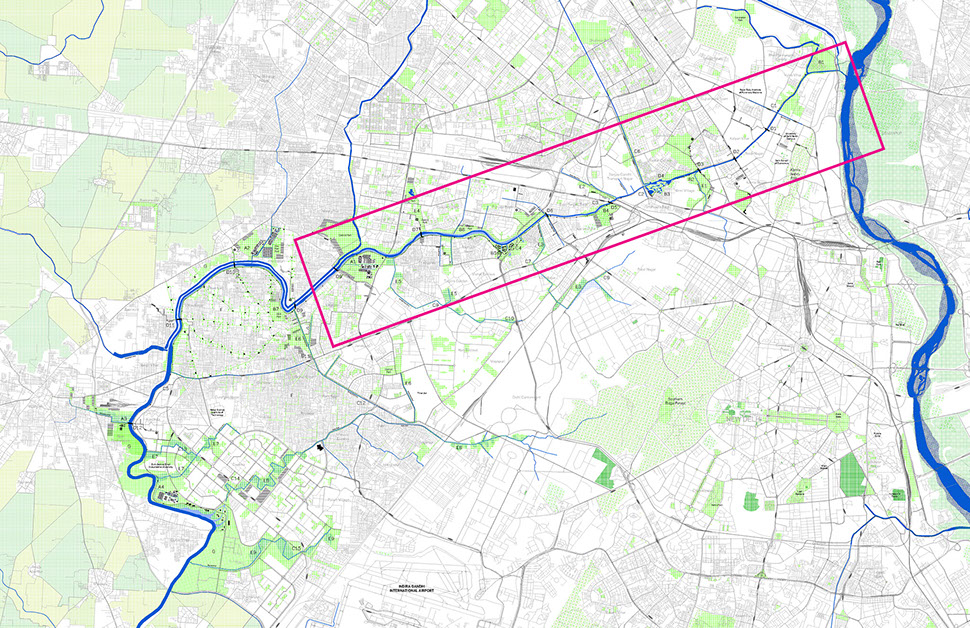
Situation Plan
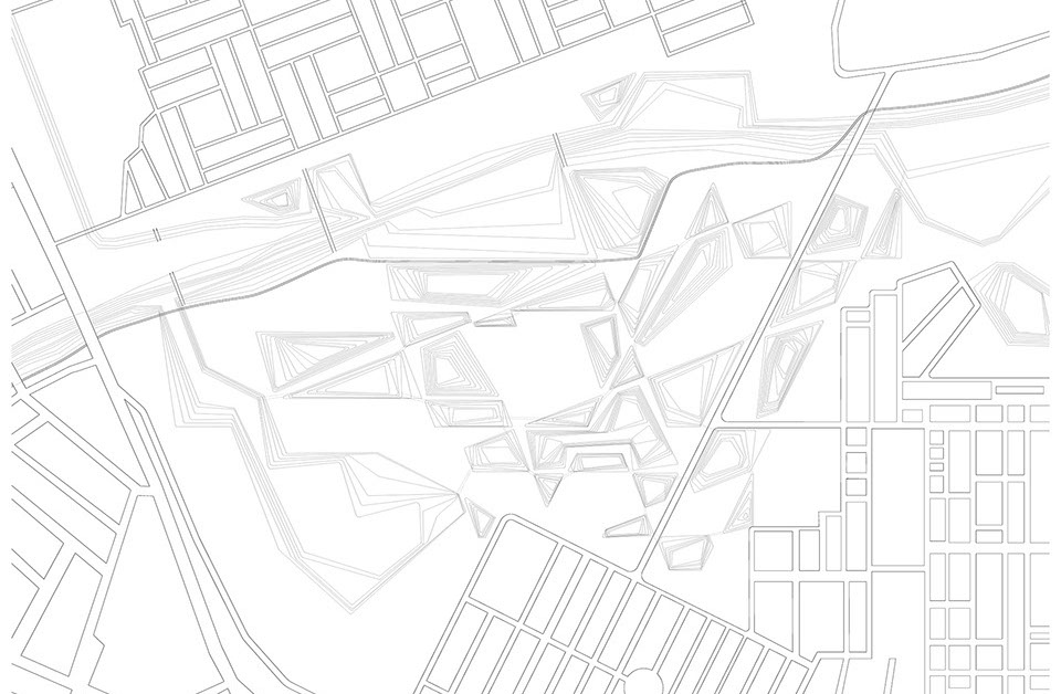
Proposed Intervention at Inderlok

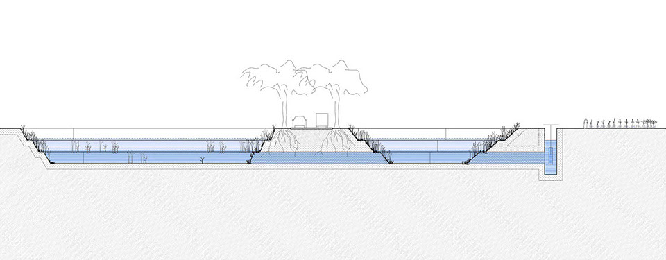
Proposed Typical Sections
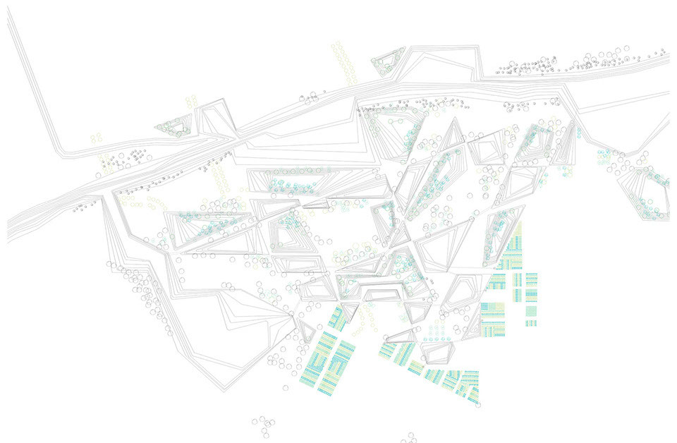
Proposed Vegetation, Dry
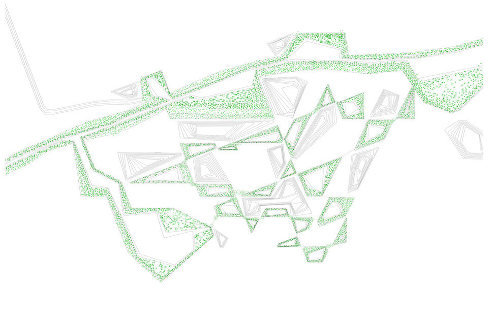
Proposed Vegetation, Wet
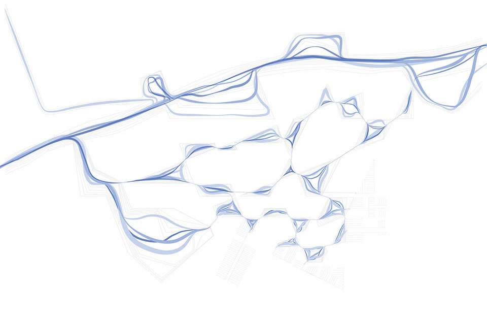
Proposed Water Systems, Dry
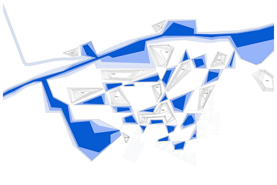
Proposed Water Systems, Wet

